Despite the unseasonably frigid weather, Shore Road’s traffic study is progressing smoothly.
According to the NYC Department of Design and Construction, DDC and its consultant, NV5, have made substantial progress in determining the cause of the roadway sinking in certain areas.
Once the cause of the roadway subsidence is determined, the next step will be to develop a design addressing the issue while not encroaching on the surrounding wetland areas.
The $1.48 million topographical and traffic study of Shore Road began in August to solve the roadway’s hazardous conditions.
DDC contracted the 70-year-old design firm NV5 to perform a Capital Project Scope Development to address flooding and other road conditions on Shore Road from Pelham Bay Circle up to the Bronx County line.
A CPSD assesses field conditions and recommends what steps should be taken to address them in a future capital project.
The CPSD is anticipated to take 15 months, with an anticipated completion by late 2019.
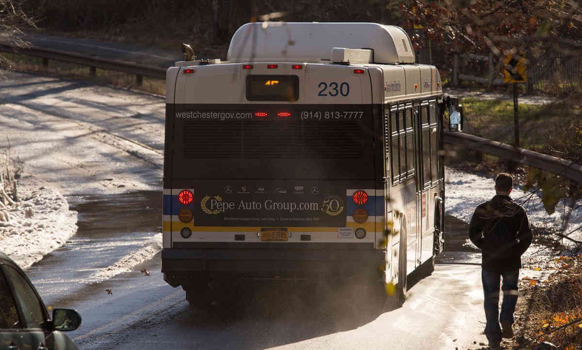
After a full day of filming hazardous conditions on Shore Road, City Island natives James and Tommy Breen witnessed a two car accident in Shore Road’s slick northbound lane near the Westchester border on Friday, November 23 around 5:30 p.m.
No one was injured, however one of the cars, a Rolls-Royce, was damaged.
“With this season’s cold weather it’s been terrible driving on Shore Road because much of the roadway’s ground water freezes,” said James Breen.
Since 2016, the documentarians have been pressuring the city to repair the long winding Pelham Bay Park roadway.
The road travels past Bartow-Pell Museum Mansion and Pelham Bay/Split Rock Golf Course as it winds north into Westchester County.
The Breens have recorded running water and icy road conditions at the roadway north of the Bartow Pell’s entrance and the northernmost curve just south of the city line.
Their videos show motorists driving southbound on Shore Road veer into the northbound lane to avoid standing water, slush and ice accumulating in their lane.
The Breens have observed a quarter mile of black ice at the northernmost curve.
On the same evening of the accident, the Breens brought the issue to Councilman Mark Gjonaj’s attention.
Within a few hours, Gjonaj had NYC Sanitation trucks salting the roadway.
The Breens observed MFS engineers and surveyors studying and working on Shore Road since September.
As a temporary measure, the Breens suggest the city place signage warning of icy conditions at Shore Road’s two problematic locations.
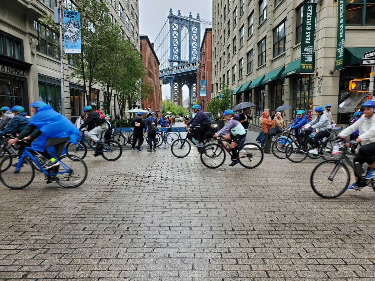
Many cyclists, runners and walkers utilize the southbound lane to avoid a .7 mile detour through the woods, but risk being struck by oncoming traffic.
The Breens and Gjonaj suggest extending the pedestrian path a quarter-mile along Shore Road to connect the existing sidewalk at the Westchester border.
Matt Cruz, Community Board 10 district manager, confirmed DDC, NYC Department of Transportation and NYC Parks will attend a meeting tentatively scheduled for January inside CB 10’s office at 3165 E. Tremont Avenue.
The agencies will update the public on the project’s progress and discuss situations to alleviate flooding.