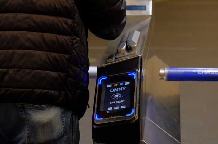
New Yorkers will now be able to see where their MTA line is delayed in real time, thanks to a new feature by mobility service app Moovit.
Moovit users will now be able to follow their train, bus, tram, ferry, and cable car routes along the map in real-time — making it easier and more convenient for New Yorkers to get to where they need to go, according to the company.
Moovit’s GPS tracking system is available in more than 220 cities across 38 different countries, with more to come.
In 2021 MTA subway ridership was 760 million people and bus ridership was 312 million, according to transportation data. But even so, those numbers only accounted for 45% and 56% of MTA’s 2019 ridership levels respectively — before the COVID-19 pandemic imposed an unprecedented low turnout of people using public transit in New York City.
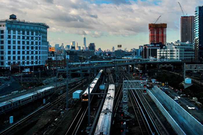
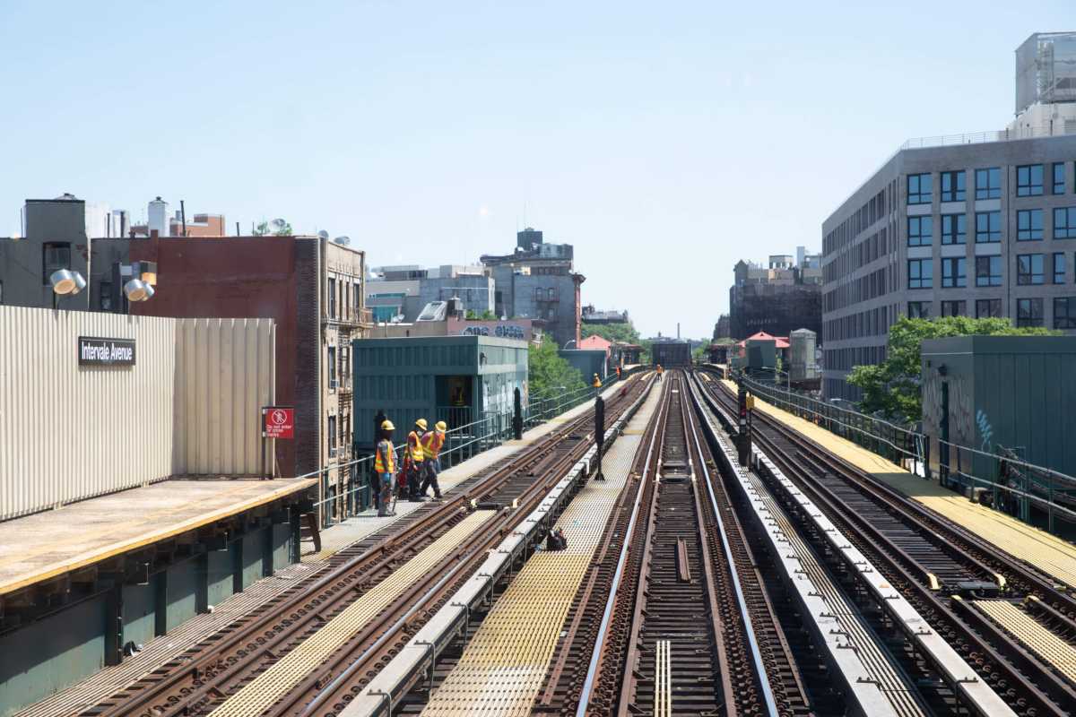
The MTA operates the largest public transportation agency in all of North America —with approximately 2.4 million people riding the subway and 1.2 million using the bus system every day in 2021. The agency oversees 472 subway stations, 665 miles of rail and 5,780 buses.
Moovit’s new real-time delay feature will make it easier for New Yorkers to plan their busy days. To see where the line is, users simply need to tap on the “Live Location” button on the action bar at the bottom of the “Itinerary,” “Line Details” or “Station Details” screens. From there, a map will open and an icon will allow users to follow the vehicle’s movement in real time.
Moovit is available on the Apple App Store, soon to be followed by Google Play. It’s available for iOS and Android.
Reach Camille Botello at cbotello@schnepsmedia.com. For more coverage, follow us on Twitter, Facebook and Instagram @bronxtimes